
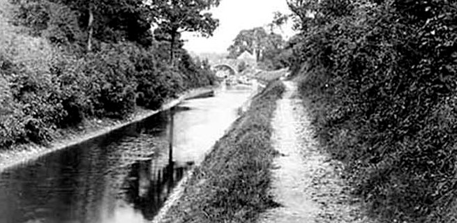
The Thames & Severn Canal is 28¾ miles (46 km) long, and of that, about 18 miles (29 km) is accessible to the public. For the remainder, there is no public right of way over canal route and, out of respect for the landowners, should be avoided.
For convenience, the accessible lengths have been divided into a number of routes:
- Route 1: Wallbridge to Sapperton Canal Tunnel (12km / 7.5 miles)
- Route 2: Over Sapperton Canal Tunnel (4.2km / 2.6 miles)
- Route 3: Sapperton Tunnel to Trewesbury Bridge (1.6km / 1 mile)
- Route 4: Near Furzen Leaze Bridge to Blue House Bridge (300m!)
- Route 5: Siddington to Eisey (10.8km / 6.7 miles)
Each route (traversed west to east) is described below and outlines what the visitor might expect to see. It also suggests places to park a car, where designated parking exists. For the two longer routes shorter options are also provided.
Maps are available by clicking on the links in the text, and looking for the 'map' button on the linked page. There is also more information about the linked item on the same page.
(Note: route numbers used below are not the same as those used in the CCiP Towpath Guide mobile app.)
Route 1: Wallbridge, Stroud to Sapperton Canal Tunnel, Daneway
Distance: 12km / 7.5 miles
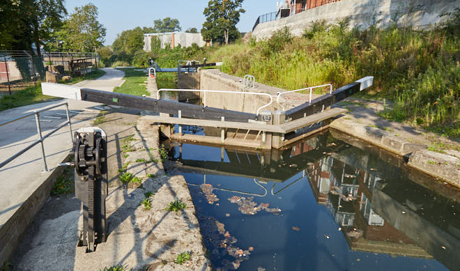
A good place to start walking this section is at Wallbridge Upper Lock, adjacent to the Cotswold Canals Trust Visitor Centre with, perhaps, a short detour to see the nearby Stroud Brewery Bridge & Wallbridge Lower Lock.
Car parking: Stroud railway station or Cheapside Car Park, around 200-300m from the canal on foot.
There are a few unofficial parking places at Daneway, but these can be quite popular!
This is an interesting section of the canal, as it begins in the centre of Stroud and climbs about 73.5m (241 ft) up the valley, ending at the entrance to Sapperton Canal Tunnel at Daneway.
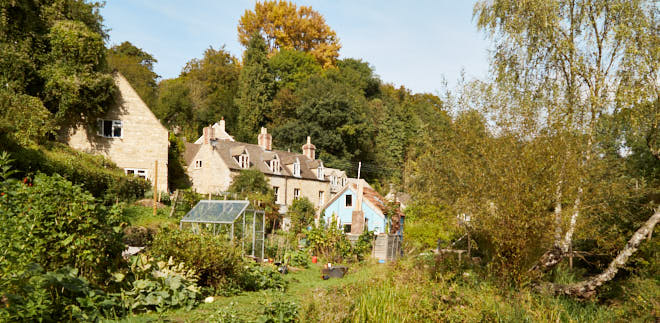
Above Chalford (Valley Lock) the route passes through an attractive and tranquil rural landscape.
As the climb implies, there are a significant number of locks on this section (26). Most of these are in a fairly poor state of repair. Although, the route does include the impressive new canal section at Capel's Mill in Stroud (not far from the start point), and the recently restored Bowbridge, Griffins Mill & Ham Mill Locks.
For a shorter walk (5.1km / 3.2 miles) Chalford to Daneway is a good option. With a start point of Bell Lock at the bottom of Cowcombe Hill, Chalford. There is some on-road parking close by but, as there is very popular cafe in the vicinity, parking might be a challenge, depending on the time of day.
Route 2: Over Sapperton Canal Tunnel
Distance: 4.2km / 2.6 miles
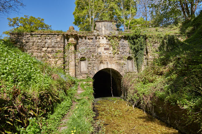
There was never a towpath through Sapperton Canal Tunnel (and the tunnel is impassable anyway), so the route is over the top.
Car parking: There is some parking by the side of the road at the bottom of Daneway hill, which is about 700m from the start point.
The start point for this walk is the western, or Daneway, end of the Sapperton Canal Tunnel. The use of an OS map (or similar) is recommended to successfully navigate the series of footpaths involved to avoid unplanned detours. The route also uses sections of several long distance footpaths including Wysis Way, Macmillan Way and the Thames & Severn Way.
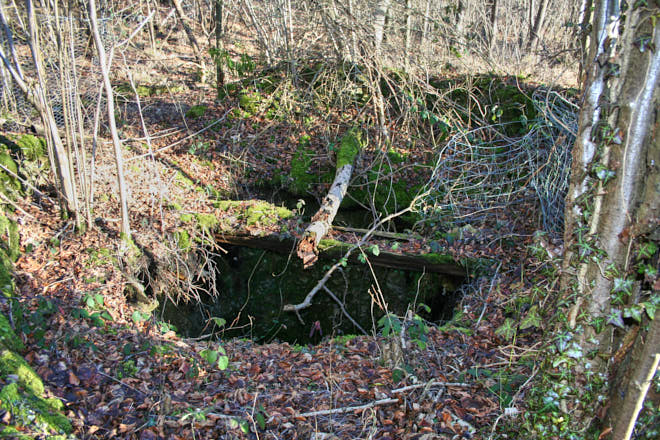
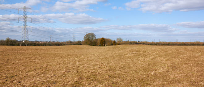
Surprisingly, there is evidence of the canal on this walk if one knows what to look for. Heading out of Sapperton towards Coates there are a number of beech-tree-covered mounds quite close to the road. These mark the sites of some of the shafts sunk during tunnel construction.
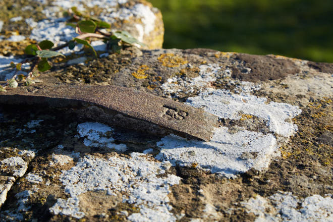
It is also possible to locate both capped and uncapped shafts at various points further along the route. Capped shafts often appear as a large sunken circular shape 2.4m (8 ft) or more in diameter. Needless to say that any shaft, whether capped or uncapped, is hazardous.
A section of this route also uses the road between the A419 and Sapperton village (as do the other previously mentioned long distance footpaths). This road is undulating, has narrow verges and no footway, therefore great care is required as it can be quite busy for a rural lane.
The end point for this walk is the Coates, or eastern, end of the tunnel.
Route 3: Sapperton Canal Tunnel to Trewsbury Bridge, Coates
Distance: 1.6km / 1 mile
This is a relatively short length of towpath which will take the walker from the Coates portal of Sapperton Canal Tunnel to Trewsbury Bridge (known as Coatesfield Bridge on OS maps).
This is the end of the accessible canal heading east until Siddington, where the public right of way re-starts, apart for the very short stretch outlined in Route 4.
The towpath here is part of the well-used Wysis Way that passes the official source of the River Thames, which is about 500m beyond Trewesbury Bridge. The source of the Thames also marks the start of the Thames Path.
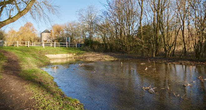
As this section is part of the original 8-mile long summit, there are no locks and the canal bed is quite overgrown in places. Coates Roundhouse, which is now derelict, is worth a visit though.
Route 4: Near Furzen Leaze Bridge to Blue House Bridge, Ewen
Distance: 300m!
A short section of former towpath starts from a slight kink in the road from Ewen to Siddington / Cirencester near the site of the demolished Furzen Leaze Bridge. A public footpath sign marks the spot. The canal was in a cutting here and has long since been filled-in and returned to agricultural use.
There are no real points of interest here. Nothing remains of Furzen Leaze Bridge and virtually nothing of the demolished Blue House Bridge, The former canal-side house, once known as 'Blue House', is strictly private.
Only the very keen will think this worth a visit.
Route 5: Siddington, near Cirencester to Eisey, near Cricklade
Distance: 10.8km / 6.7 miles
Upper Siddington Bridge to the demolished Ampney Brook Aqueduct, Eisey is the longest continuous section of canal that can be walked east of the Sapperton Canal Tunnel.
Car Parking: for a start point of Upper Siddington Bridge, there is a small amount of off-road car parking near the bridge adjacent to a playing field.
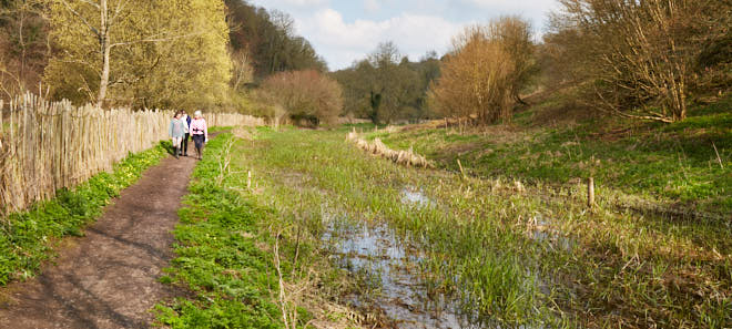
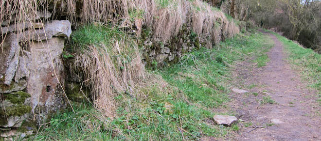
The towpath from Siddington to Latton is generally easy walking along a pleasant rural route. The only detraction can be the noise from the A419 dual-carriageway beyond South Cerney.
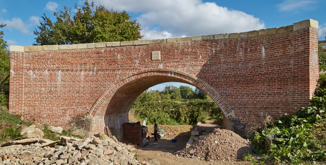
Most of the canal in this section is unrestored. There are, however, a number of highlights including Cowground Bridge, Boxwell Springs Lock, Wildmoorway Lower Lock, Gateway Bridge, Cerney Wick Pound, Spill Weir & Lock, and Cerney Wick Roundhouse. All of these (except the Roundhouse which is a private house) have undergone some degree of restoration, with Gateway Bridge being newly constructed in 2003.
There are three infilled sections along this route, most notably a little beyond Latton Junction.
For a shorter walk from Siddington there are two logical stopping-off points with parking:
- Gateway Bridge: Adjacent to the Gateway Centre in the Cotswold Water Park with significant car parking and a cafe. (5.3km / 3.3 miles)
- Latton Junction: It is often possible to park on the road in Latton village, and there is a convenient bridge over the A419 dual-carriageway near this point. (8.8km / 5.5 miles)
There is little of interest to see on the canal beyond Latton, and there is no car parking at or near the site of Ampney Brook Aqueduct. There is a lay-by near the former canal wharf house (Wharf Farm) at Cricklade, about 2km west of the Aqueduct.
This short section could be combined with a return route using the Thames Path.